Monitoring rivers Waal and Upper Rhine
| Location | Rivers Waal and Upper Rhine, The Netherlands |
|---|---|
| Client | Rijkswaterstaat |
| Period | December 2018 - December 2022 |
| Equipment used |
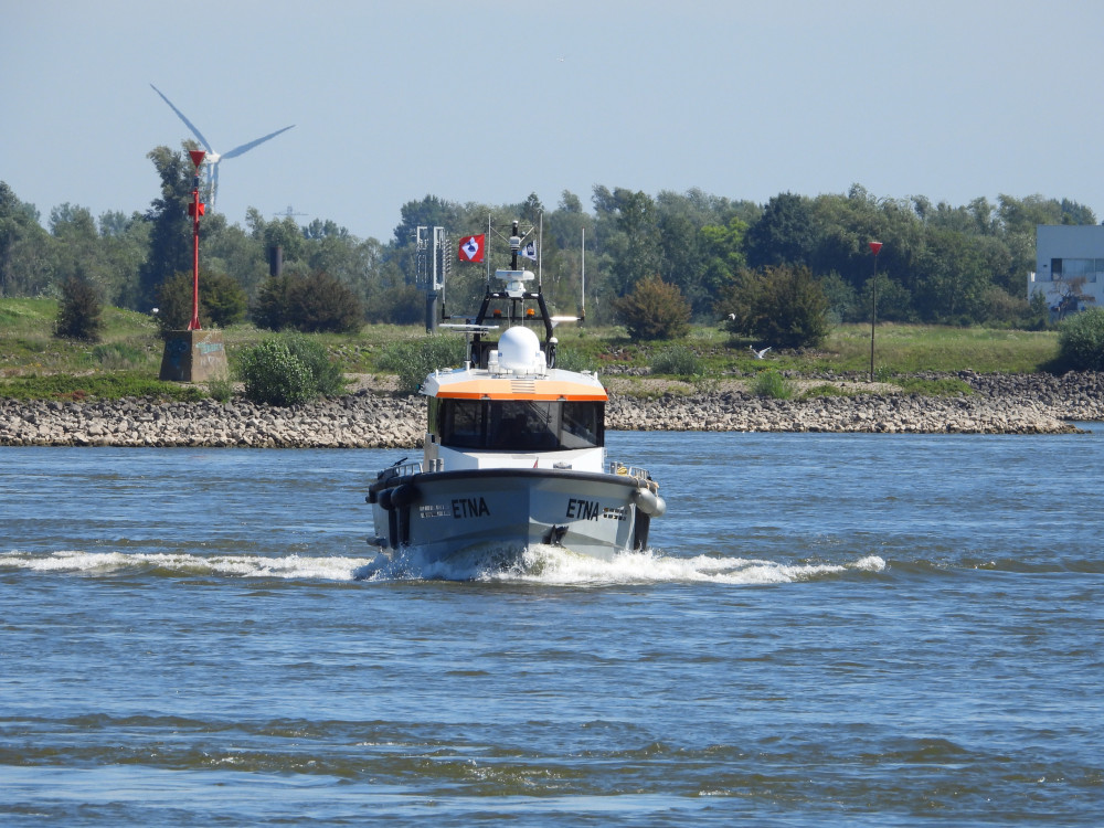
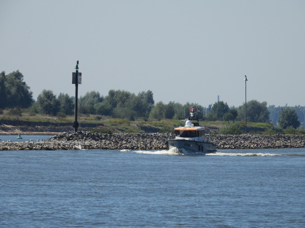
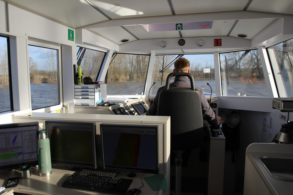
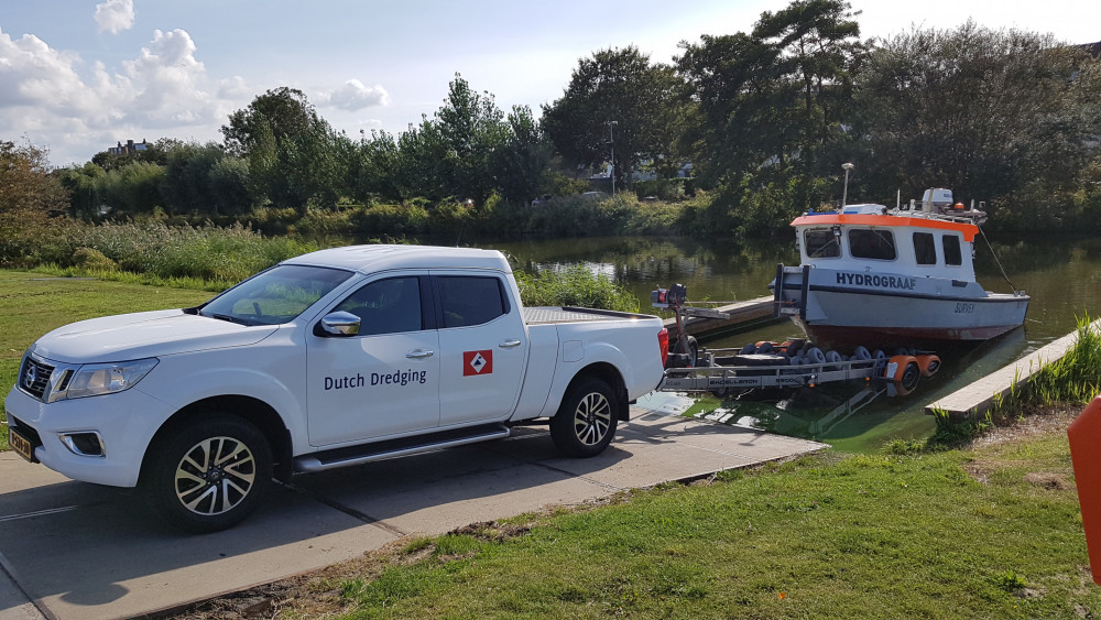
Etna
Hydrograaf |
| Dredging volume | n.a. |
About this project
Excecution and management of the project: Consortium Baggerbedrijf de Boer B.V. / Aquifer Consultancy B.V.
Rijkswaterstaat is part of the Dutch Ministry of Infrastructure and Water Management and responsible for the design, construction, management and maintenance of the main infrastructure facilities in the Netherlands.
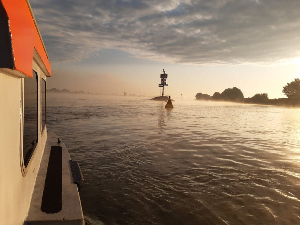
This project concerns the performance of hydrographic measurements.
Why are these measurements necessary?
Rijkswaterstaat wants to know the state of these infrastructure networks. Are they safe to use and maintain and do they perform their function properly? It is also important to know when maintenance of these infrastructure networks is required. In short, it mainly concerns safeguarding the accessibility, navigability and safety of the Waal / Upper Rhine.
Locations
There are 3 locations along the Waal dams (Hydrographic measurements), to be measured near Wamel, Dreumel and Ophemert. The measurements will take place every two weeks until the end of 2020.
The location of sediment replenishment Boven-Rijn (Soundings and Suspension Line Measurements) is located near Tolkamer in Gelderland. In April 2019, Rijkswaterstaat had controlled gravel deposited on the river bed for the second time. The measurements will take place every 8 weeks in the main channel and bank channels, until the end of 2020.
Flexible measurements will also be carried out on demand by Rijkswaterstaat until the end of December 2020.
Measurements along the Waal dams (main channel + bank channel):
- Multibeam (bathymetric) measurements
- Suspension line measurements
- Current measurements
Measurements Nourishment Upper Rhine (main channel, this area of the river has no bank channel):
- Multibeam (bathymetric) measurements (after 2020)
- Suspension line measurements, depending on the water level
- Current measurements, depending on the water level
What are longitudinal dams?
Read more about this on the website ““Ruimte voor de rivier”” (Dutch language)
What is sediment supplementation?
Watch a video from Rijkswaterstaat about the “Sediment suppletie Boven-Rijn ” (Dutch language)
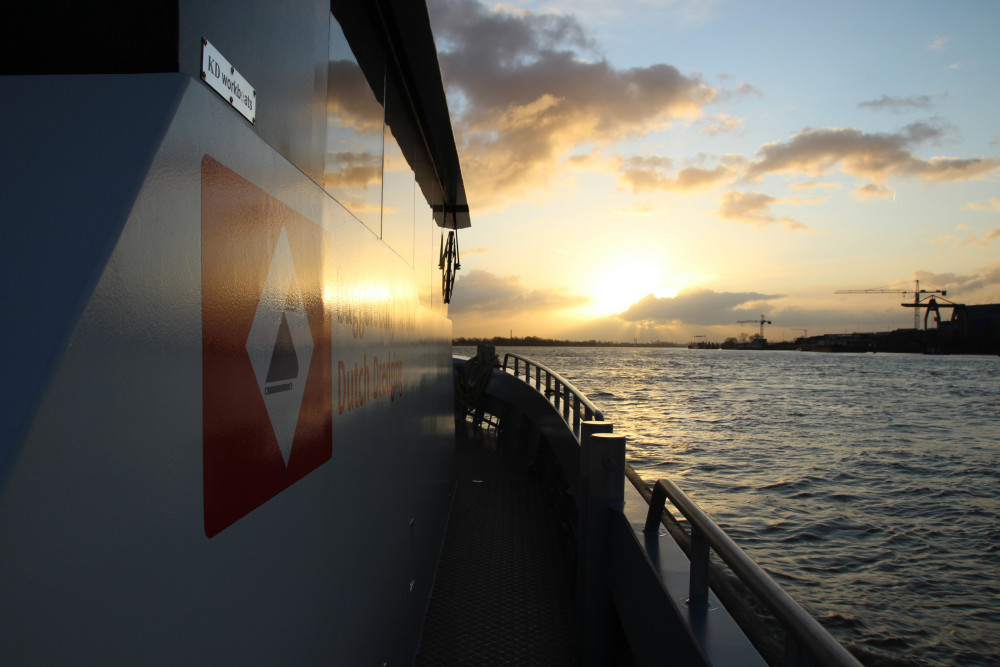
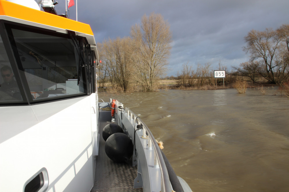
Photos of this project